News
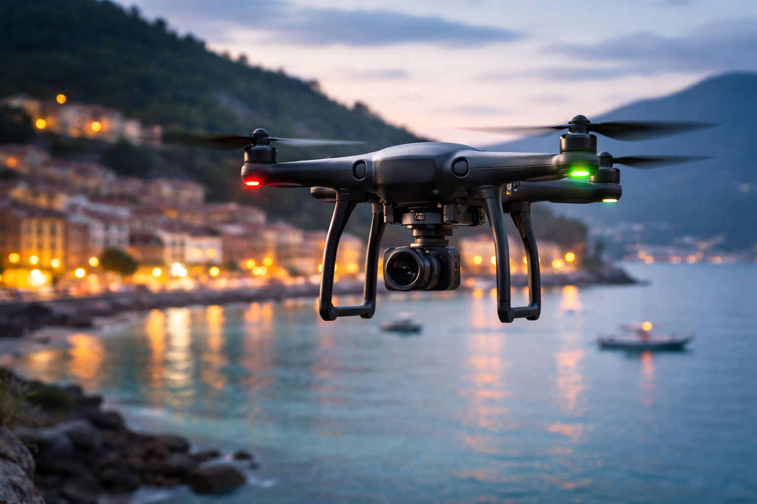
Aerial-photogrammetric survey with drones: the technology that is changing the construction sector
In the ever-evolving world of architecture and construction, the introduction of drones has led to a revolution in data collection and architectural surveys. This innovative technology is changing the way architects, engineers and construction professionals approach projects, offering a number of significant benefits.
THE FLIGHT OF ARCHITECTS: DRONES IN ARCHITECTURAL PRACTICE
Drones, also known as remotely piloted aircraft (UAVs), have become an integral part of the design and construction process. These flying machines can be equipped with high-resolution cameras, thermal sensors and other specialized tools to perform detailed surveys of surrounding buildings, terrain and landscapes. Here´s how drones are revolutionizing the industry:
1. RAPID DATA ACQUISITION: Drones can quickly cover large areas and capture detailed data in a much shorter time than traditional methods. This means that the time needed to gather information on a construction site is drastically reduced.
2. EXCEPTIONAL DETAIL: High-resolution cameras and thermal sensors enable astonishing detail, which can be critical to the design and evaluation of a building or land.
3. SAFETY: The use of drones reduces the need to send personnel to dangerous or inaccessible terrain, significantly improving workplace safety.
4. COST SAVINGS:Drone data collection is often cheaper than traditional methods. Additionally, the accuracy of the data collected minimizes design and construction errors, saving you money in the long run.
5. HISTORICAL DOCUMENTATION: Drones can document the progress of projects over time, creating a visual record of construction phases and changes made. This can be valuable for historical purposes or long-term maintenance.
PRACTICAL APPLICATIONS
In addition to the general benefits, drones are used in many phases of the life cycle of a construction project. Some practical applications include:
• BUILDING INSPECTIONS: Drones allow you to perform detailed inspections on existing buildings, identifying structural damage or maintenance problems.
• LAND ASSESSMENTS: Aerial mapping can be used to study terrain characteristics, facilitating the planning of new projects.
• ARCHITECTURAL DESIGN: Architects can use data collected by drones to create more precise designs and respect terrain constraints.
• CONSTRUCTION CONTROL: During construction, drones can monitor progress and identify any discrepancies from initial plans.
• REAL ESTATE MARKETING: Aerial images and videos captured by drones can be used for property marketing and sales purposes.
Drone technology is revolutionizing the way we design, construct and maintain buildings. As the construction industry continues to evolve, drones are set to become an essential tool for architecture and construction professionals, enabling more efficient, safe and precise projects.
-
30/09/2025

Conto Termico 3.0: 2025 Incentives for Energy Efficiency and Renewable Sources -
13/06/2025

Building Distance Regulations: Notarial Council Guidelines on Demolition, Reconstruction, and Out-of-Shape Extensions in Historic Areas -
21/03/2025
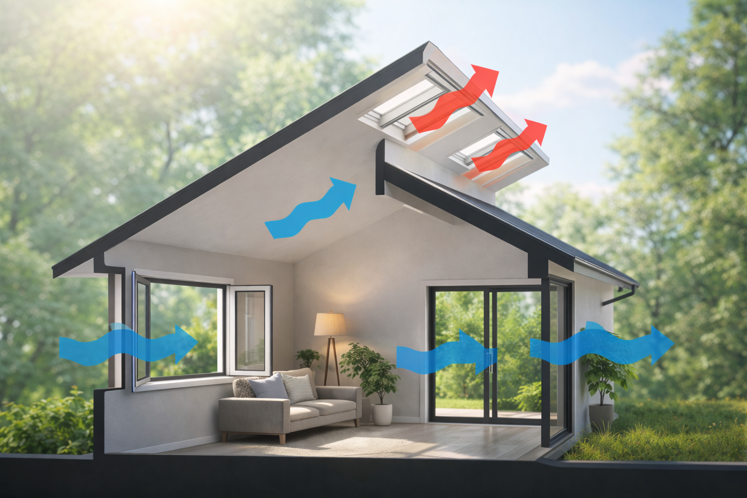
Windows with Integrated Ventilation: Comfort, Efficiency, and Key Limitations to Know -
24/01/2025
Interior interventions and building regulations: when a wall doesn´t become an abuse -
04/10/2024

Exploring the Potential of Renewable Energy Communities -
12/04/2024
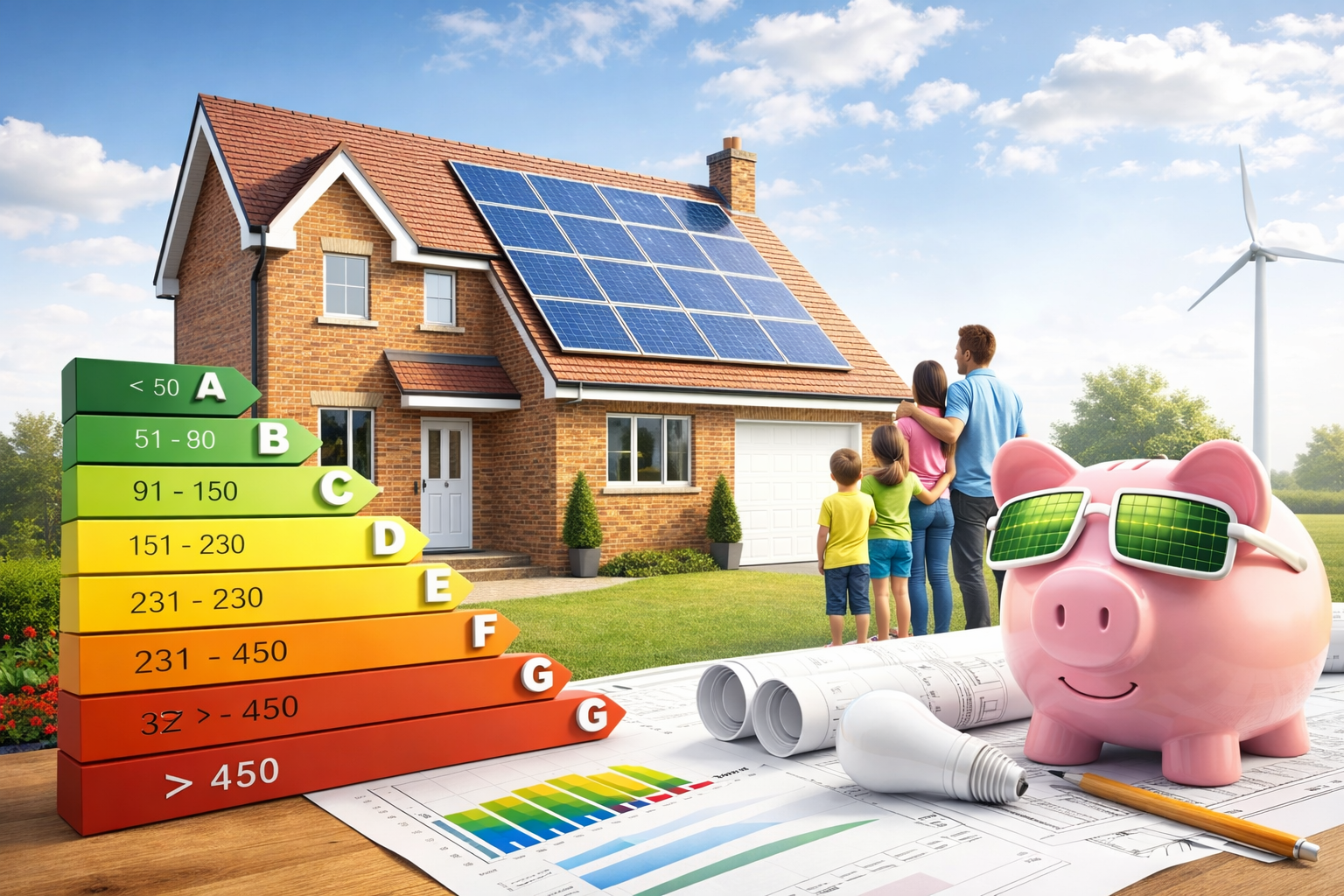
Improvement of the energy class of a building by focusing on renewable sources: intervention scenarios -
10/01/2024

COP28: A Global Commitment to a Sustainable Future through Energy Efficiency -
11/12/2023
Eco-sustainable homes: well-being for the planet and health -
02/10/2023
Aerial-photogrammetric survey with drones: the technology that is changing the construction sector